The International Society for Digital Earth 2023 conference was held at Harokopio University in Athens from the 11th to the … More
Category: Citizen Cyberscience Summit
Intelligent Maps = pixel value + local knowledge
Remote sensing has made huge breakthroughs in recent years in providing global maps of land cover and land use. A … More
Crisis Mapping By Affected Agro-Pastoralists in Ethiopia: Crowdsourcing for Food Security?🇪🇹
In the Lower Omo Valley in Ethiopia, a food security crisis is unfolding. According to the Famine Early Warning Systems … More
Is Sapelli just a tool?
In a recent interview I conducted with the director of an international NGO here in Cameroon who is familiar with … More
WEBINAR: Whose land? Whose map? Land use mapping by land users in the Digital Earth era.
*Recording and slides are available here. This Webinar is part of the ongoing PhD project titled: Whose land? Whose map? … More
Learn about Extreme Citizen Science from our StoryMap
What if science and society deployed themselves inside one single dynamic adventure?
CITIZEN SCIENCE: BRINGING PEOPLE TOGETHER
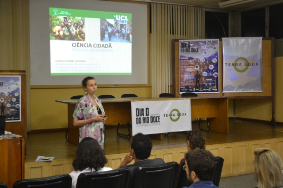
On November 5 2015, a dam situated in the State of Minas Gerais (Brazil) collapsed, spreading millions of litres of … More
Learning DIY glow-worm making
“Learning by teaching”, a reflection on running a DIY Arduino glow-worm-making workshop.
Mapping Accessibility with Sapelli
On 19th June the ExCiteS research group and Mapping for Change, teamed up with Dr Catherine Holloway and Sarah Nicholson, … More
Quando i cittadini fanno ricerca
Nel corso degli ultimi anni i cittadini hanno avuto la possibilità di giocare un ruolo prezioso nel contribuire a progetti … More


