
Yesterday we hosted the final event for our 5-year European Research Council-funded project Extreme Citizen Science: Analysis and Visualisation. And what an evening it was!
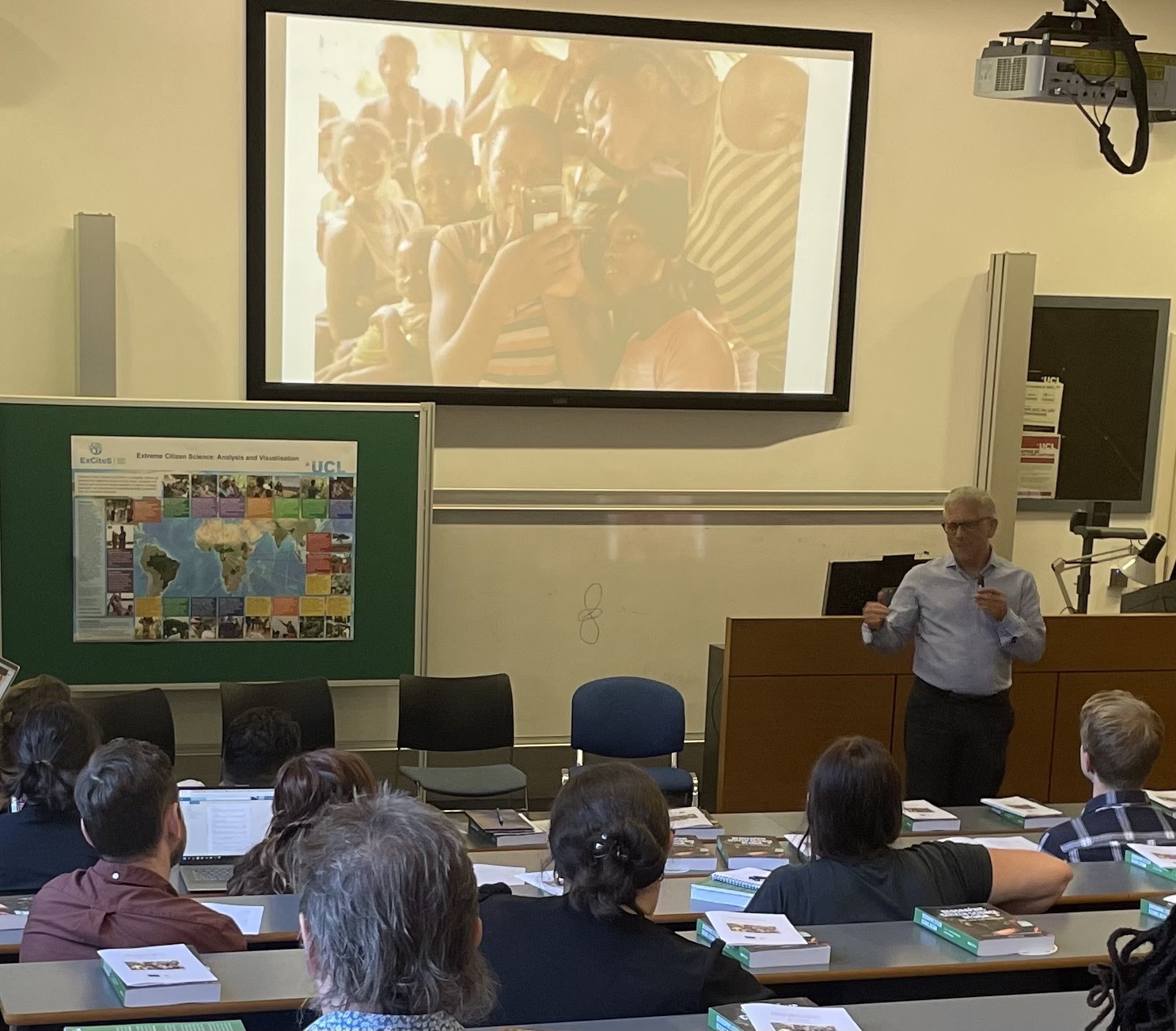
After some last minute running around preparing the online live-stream and laying down the red carpet (not quite), we began the presentation session. Unfortunately Jacquie McGlade could not join to give her introduction but Muki Haklay did a more than sufficient job welcoming the diverse crowd who were from a variety of institutions, organisations, companies, and communities.
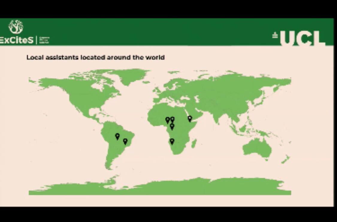
Muki began by giving us a tour of ExCiteS’ history and it’s foundations in a variety of disciplines including post-normal science and the critical philosophy of technology. An email sent by Jerome Lewis – at the time having just joined the Department of Social Anthropology at LSE – to Muki probing his interest in the use of digital technology by non-literate hunter-gatherers to map important resources in their forest was the beginning of what has become extreme citizen science! Behind Muki was a map with 20 different case studies showcasing how far extreme citizen science projects have come. Now with the benefit of hindsight, Muki outlined his five key lessons: The importance of being open, Embracing the myth and the mess, Ensuring the project belongs to those who are doing it, Aiming for egalitarian knowledge production, and Recognition that no experiments are failures. Muki played a video of our much-missed colleague Gill Conquest who conveyed the importance of local communities in having an active role monitoring their environment and its threats.
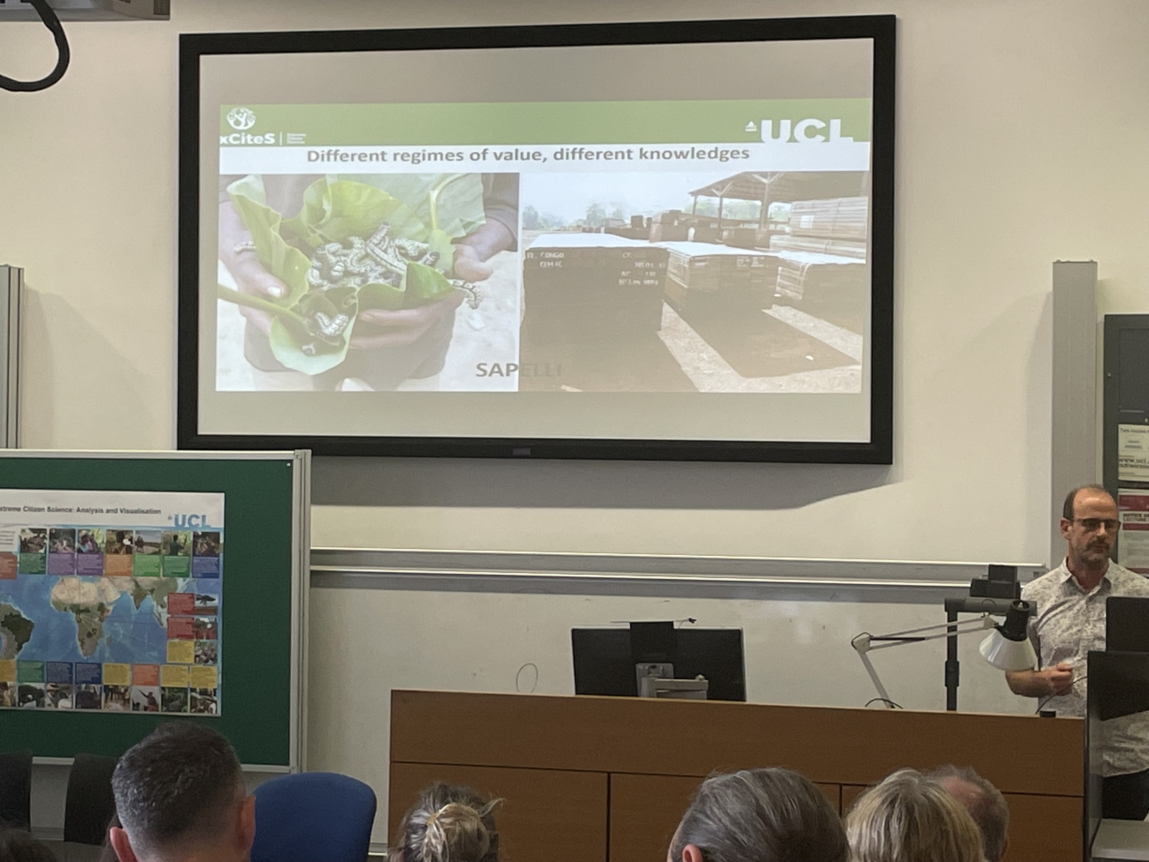
We were then treated to a brief explanation of why ‘Extreme’ Citizen Science by Jerome Lewis. To do this justice, Jerome told the attendees of his initial work with Mbendjele hunter-gatherers in the Republic of Congo, a place where what were once extensive and rich tropical rainforests and have degraded and reduced to a shell of their former glory. Jerome noted the devastating effects this had on the Mbendjele but also the opportunity for the communities to assert an active role in monitoring this destruction and contributing to keeping the forest standing in the face of aggressive logging industry. The initial Helveta software evolved into Sapelli and experiments were carried out by Julia Altenbuschner to ascertain local understandings of satellite maps. Jerome stressed the important role Sapelli has come to play in creating a ‘Third Space’ between epistemologies and ontologies whereby those who think and view the world in very different ways can collaborate and produce positive outcomes together, on equal terms. This process was the definition of co-creation: the various communities who decided to team with us played a pivotal role in shaping the work.
A nice summary of the evolution of the technology was provided by Dan Artus, beginning with Sapelli Collector and moving on to Community Maps, GeoKey, Sapelli Designer, and most recently, Sapelli Designer. To show how these actually work, Marcos Moreu gave demonstrations to the audience. This section finished with a short panel whereby Carolina Comandulli, Jerome Lewis, and Matthias Stevens shared their experiences from building the software (Matthias) and implementing it in the Amazon (Carolina), to overseeing the whole process (Jerome). A particularly important point was made by Carolina who stressed “the importance of building trust because we are bringing something from outside. Initial hostility can be overcome with respect and patience.” This reminded me to what Gill used to say – that we cannot deny we are bringing in something that is from the outside and would otherwise not be there, so the effort must be in how to introduce it most appropriately and fairly.
We then had a series of short and seemingly stressful (!) Pecha Kucha talks by PhD students and research assistants of 15 slides over 5 minutes – only 20 seconds a slide! These covered a range of topics from recognition gaps by Fabien Moustard, data gaps by Marcos, working with any community, anywhere by Simon Hoyte, remote co-production with partners and anticolonial efforts by Hannah Gibbs, online training materials by Megan Tarrant, a case-study with Asháninka in Brazil by Carolina, and future steps by Muki. What was clear was that whilst we can come so far, there is a long way to go, and this part will require much software development and therefore be expensive!
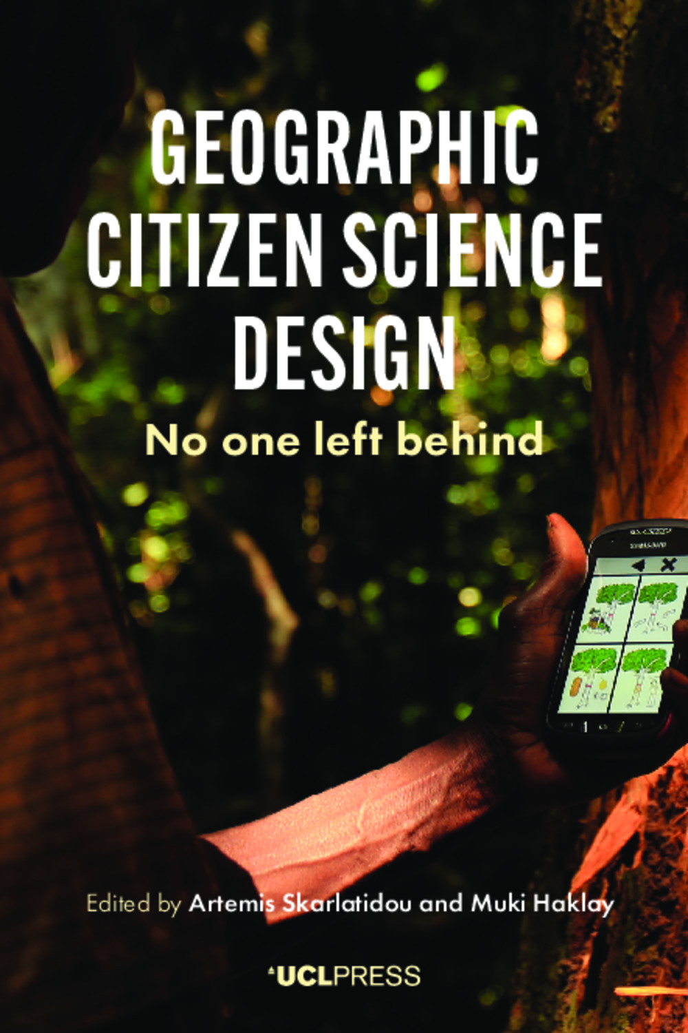
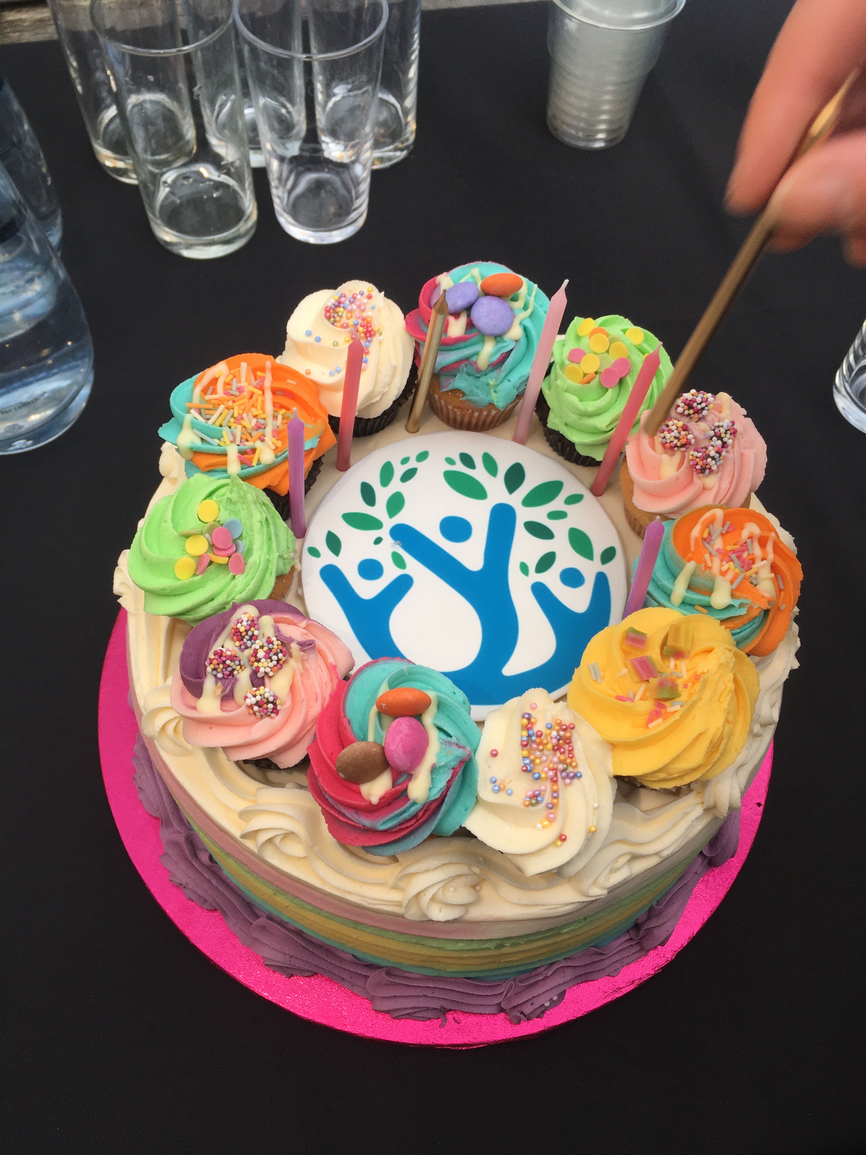
Strolling across the sunny quad of UCL, the attendees then made their way to the UCL Japanese Garden to celebrate the launch of our book Geographic Citizen Science Design: No One Left Behind (please download for free here!), complete with an ExCiteS cake!
We would like to extend our sincere thanks to all our partners and collaborators around the world who have travelled this journey with us and without whom none of these great achievements would have been possible.
We would also like to thank the funder of this project the European Research Council under the European Union’s Horizon 2020 research and innovation programme (Grant agreement Nos. 694767 and ERC-2015-AdG).

1 Comment