
Over the last ten years, UCL’s Extreme Citizen Science group has developed two main technological infrastructures – Sapelli software to allow data collection by low-literacy participants, and GeoKey, a data management system for community mapping. We have also developed an engagement approach that allows for the co-production of the data collection process, and for sharing of the information in a culturally sensitive and ethical way. These developments were funded by the Engineering and Physical Sciences Research Council (EPSRC). We are now looking for a partner to help us with the software development side of Sapelli Viewer – a tool which will allow the communities we work with to visualise their data.
For the tender documentation, please contact dan.artus@ucl.ac.uk with the subject line ‘ExCiteS – Sapelli Viewer Tender’.
You will be able to see a copy of this tender at ContractsFinder.

Further details:
This contract will be funded by the research grant ‘Extreme Citizen Science Analysis and Visualisation’ or ECSAnVis, which in turn is funded by the European Research Council (ERC) under the Horizon 2020 research and innovation programme (Grant agreement No. 694767). This grant was awarded to UCL’s Extreme Citizen Science (ExCiteS) research group within the Department of Geography at UCL.
Extreme Citizen Science is a situated, bottom-up practice that takes into account local needs, practices and culture and works with broad networks of people to design and build new devices and knowledge creation processes that can transform the world. Over the last decade, ExCiteS has worked with indigenous communities in Cameroon, the Congos (RoC and DRC), Central African Republic, the Brazilian Amazon, and Namibia on a range of projects – be it using participatory mapping to combat illegal resource extraction or invasions (often in the context of logging and poaching), to monitor wildlife populations, or a community’s territorial boundaries. This work supports environmental justice and strengthens conservation efforts as well as promoting and protecting the rights of these often vulnerable communities who sometimes live under the constant threat of exploitation and violence.
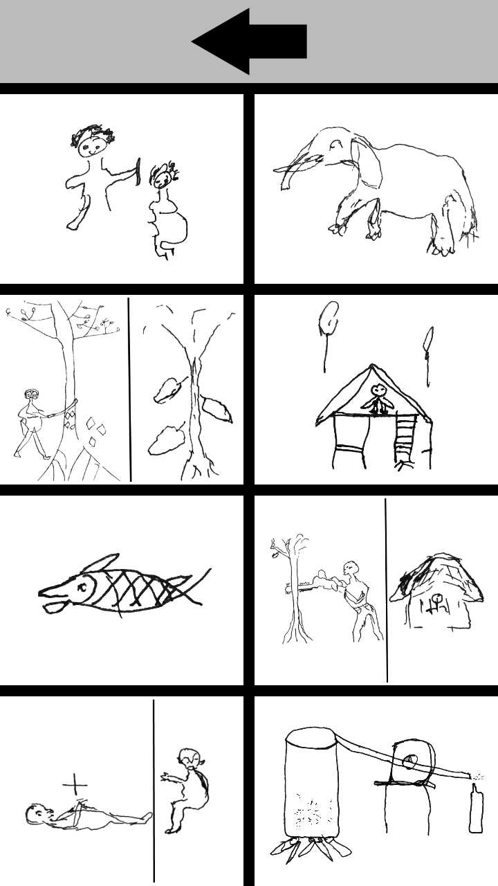
The group has developed an open source mobile data gathering platform called Sapelli Collector targeted specifically at non-literate/semi-literate users. Sapelli Collector facilitates data collection across language or literacy barriers though its highly configurable icon-driven interface. Data collected via mobile devices can be transmitted to central repositories for subsequent analysis and visualisation.
The purpose of the ECSAnVis project is to further refine the Sapelli application to support community-responsive analysis and visualisation of data gathered by indigenous peoples, primarily in sub-Saharan Africa. The research centres not only on the technology but also on community protocols and procedures, ensuring that technology is used to support and protect local needs and rights. The ExCiteS team working on the ECSAnVis project is multidisciplinary, comprising technology specialists, HCI experts and anthropologists. UCL requires the services of an experienced and enthusiastic technology delivery partner to develop an initial prototype of ‘Sapelli Viewer’, which will enable viewing and analysis of data gathered through the existing Sapelli Collector app.
